


Modern Land Records. Maximum Clarity. Total Confidence.
This suite of products streamlines and automates workflows within land records departments across your Wisconsin organization.
Ascent LAND RECORDS SUITE (Wisconsin) OVERVIEW
Efficiency Unlocked.
Our Wisconsin Land Records System is a centralized, statute-aligned platform designed to manage the entire property tax lifecycle with accuracy, efficiency, and compliance. From parcel maintenance and quality-controlled assessment imports to levy calculation, tax billing, receipting, and Department of Revenue reporting, the system connects departments and eliminates redundant processes.
Purpose-built for Wisconsin counties and municipalities, this platform supports assessors, clerks, treasurers, GIS staff, finance teams, and others with secure, accurate, and fully integrated workflows.
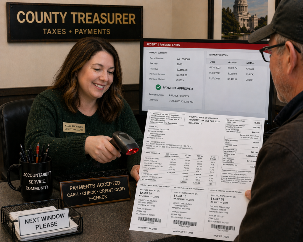

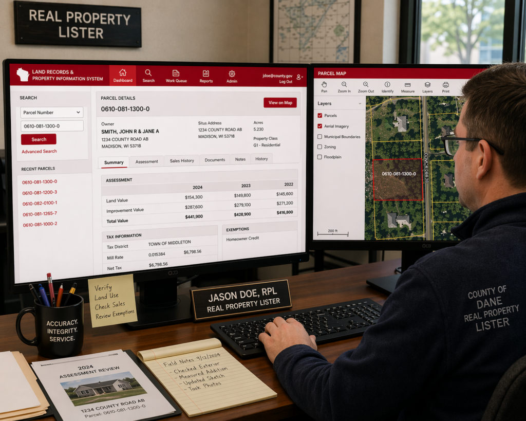
Our Land Records System provides Wisconsin counties and municipalities with a centralized platform for managing parcel records, assessments, tax rolls, billing, collections, and state reporting.
The system streamlines assessment imports, mill rate calculations, statutory credits, tax bill generation, installment payments, delinquent taxes, and special assessments while reducing manual entry and improving accuracy.
Integrated reporting tools simplify DOR compliance, tax roll reporting, and Board of Review preparation. Seamless integration with GIS mapping, Register of Deeds systems, WI RETR, online payments, and Ascent Suite financial modules improve efficiency and taxpayer service across departments.
ADDITIONAL ADD-ON Features to customize your Ascent Suite
3rd Party Payment Import
Import bulk tax payments from third-party payment providers, including mortgage servicers, escrow companies, and tax service firms.
Additional Fees
Add, update, and delete parcel-level fees and charges directly on tax bills, with reporting tools to track outstanding and unpaid fees.
Public Permitting View
Integrated with our Permit Management Suite, real-time permit information is automatically available to the public through the Land Records System.
Sales History
View sales history for individual tax parcels, including detailed real estate transfer return information. Advanced search tools also allow users to search and analyze property sales records across multiple parcels.
SALES FINDER MAP
Allow the public to search property sales using an interactive, user-friendly map. Advanced search tools by location and property details provide flexible and powerful search capabilities.
Credit Card or E-Check Tax Payments
Provide a shopping cart-style payment experience for paying multiple tax bills and fees by credit card or e-check, simplifying online tax collection for county and municipal offices.
Text & Email Notifications
A text and email notification service that automatically sends reminders and alerts for important tax bill activity, including bill availability, payment due dates, payment confirmations, and delinquent taxes.
WI Parcel Map EXPORT (Act 20 Export)
Wisconsin Act 20 established statewide standards for the development of a digital parcel map. This export compiles Land Records data into the required submission format for statewide parcel mapping compliance.
Features

Property Listings
Create and manage real estate parcels and personal property accounts. The program ensures accurate, current, and detailed land records, including historical tract information showing changes in land boundaries over time.

Assessment
Efficiently manages the assessment process from the creation of the work roll through the generation/validation of the final Statement of Assessment

Taxation & Settlements
Provides automated method for county treasurer to generate tax bills and perform settlement functions

Receipting
Ability to receipt tax payments for real estate parcels. Access level (County, Municipality, or Bank) determines functionality. The web interface offers a unified system with real-time updates to a centralized database.

Municipal Access
Easy methods to update and enter levy and special assessment information and other information required by the county for tax bill generation

Public Web Portal
The parcel data stored in the Ascent Land Records database is made available to the public via the public web portal. The unique architecture allows the data to be accessed by the public as soon as it is entered or updated