
Smarter Tools for Stronger Conservation.
The Ascent Land & Water Conservation Suite delivers intuitive, data-driven technology that simplifies workflows and empowers more effective resource management.
Ascent land & Water Conservation Overview
Simplify the Work. Strengthen Conservation.
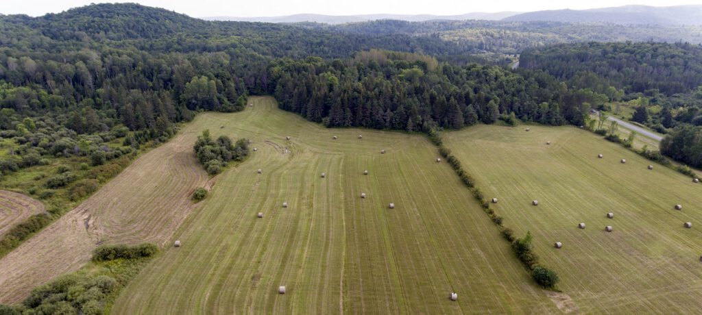
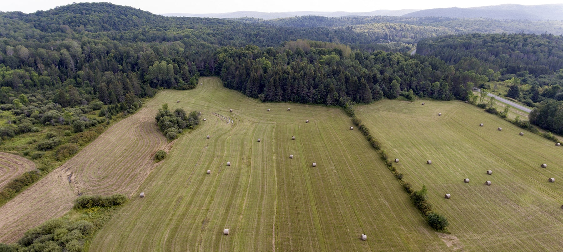
The Ascent Land & Water Conservation Suite is a comprehensive, statute-aligned platform built to modernize and streamline Wisconsin’s conservation programs. Designed specifically for county conservation departments, Ascent centralizes critical data and workflows to improve coordination, transparency, and reporting across all programs.
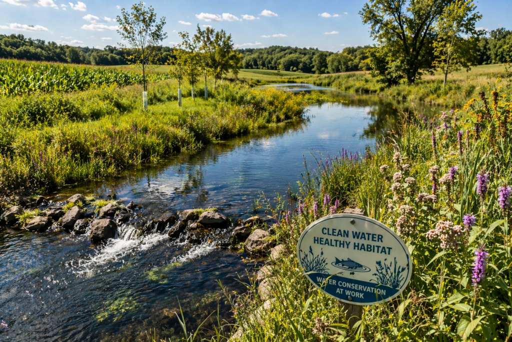

With Ascent, agencies can efficiently manage conservation lands, easements, nutrient management plans, and cost-share programs—all within a single, unified system. Configurable workflows, accurate data tracking, and integrated reporting tools empower teams to maintain compliance while making more informed decisions.
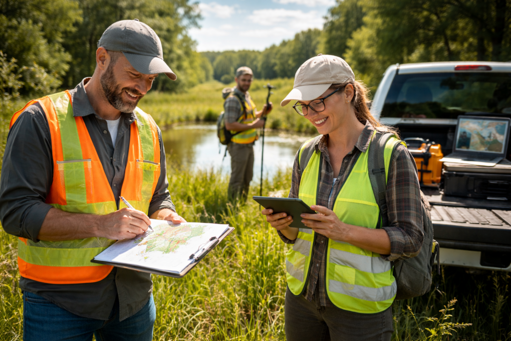
From tracking easements and processing grant applications to monitoring nutrient management and administering cost-share programs, Ascent simplifies complex operations with intuitive, user-friendly tools. Automated workflows reduce manual data entry, enhance oversight, and ensure data integrity—helping conservation professionals focus more on impact and less on administration.
Available Permitting Modules
Farmland Preservation
An all-in-one solution designed to simplify and streamline farmland preservation by making it easy to manage, track, and maintain certification records.
Farm Compliance Tracking
A compliance tracking system for agriculture, helping counties digitize inspections, enforce conservation laws, and manage farm-related regulatory programs.
Nutrient Managment Practices
Streamlines plan management within flexible, conservation-focused software, enabling counties to digitally track and report compliance with ease.
Best Management practices
Centralizes conservation and cost-share data, streamlining workflows, track requirements, report outcomes, and make smarter, data-driven decisions.
Features
Integrated Data Management
Centralize and connect data across systems like Real Property and GIS, creating a single, accurate source of information. This reduces duplicate entry, minimizes errors, and ensures all records—parcels, landowners, and program data—stay up to date.

Program Tracking & Compliance
Provides tools to track status, monitor progress, and maintain detailed historical records. This supports regulatory compliance, simplifies DNR reporting, and gives staff clear visibility into projects, plans, and certifications.

Workflow Efficiency & Financial Oversight
Automated workflows streamline processes like submissions, approvals, and notifications, improving day-to-day efficiency. At the same time, built-in financial tracking manages cost-share, payments, and funding details, ensuring transparency and accountability.